
Planning the 16km climb? Explore our detailed Gaurikund to Kedarnath trek map featuring the best rest stops, free water points, and medical relief camps for a safe 2026 yatra.
KEDARNATH WEATHERThe trek from Gaurikund to Kedarnath is a journey of 16 kilometers that takes you from an altitude of 1,982 meters to nearly 3,583 meters. Since the 2013 floods, the route has been redesigned to be wider and safer, but it remains a test of endurance. In 2026, the administration has implemented better signage and milestone markers every 500 meters, making it easier for solo travelers to navigate without a guide.
Understanding the “Elevation Profile” is crucial. The first 6-7 km are moderately steep, but as you cross Bheembali, the incline becomes punishing. Knowing where the major milestones are helps in mental pacing. For instance, reaching Jungle Chatti is your first small victory, while reaching Linchauli means you have conquered the hardest part of the climb. This section of our guide at DreamTripGuide aims to provide a birds-eye view of what to expect so you don’t burn out in the first 3 kilometers.
🏔️ Kedarnath Yatra Checklist 2026: 12 Must-Have Items for a Successful Trek

- ✅Altitude Protection: Prevents breathlessness and headaches caused by low oxygen levels at Kedarnath top.
- ✅Instant Energy: Helps you recover faster during the steep 16km trek from Gauri Kund.
- ✅Lightweight: Fits easily in your side pocket and weighs almost nothing.

- ✅Unbeatable Grip: Anti-skid soles designed specifically for slippery mountain rocks and mud.
- ✅100% Waterproof: Keeps your feet dry during sudden rains or while crossing small streams.
- ✅Ankle Support: Prevents injuries on the uneven zig-zag paths of the Kedar valley.

- ✅Total Coverage: Covers you and your large backpack completely during heavy mountain rains.
- ✅Quick Dry: Much better than heavy raincoats; it's light and dries in minutes.
- ✅Windproof: Blocks the freezing cold winds that follow the rain at high altitudes.

- ✅Heat Retention: Advanced fabric that locks body heat even when the temperature drops to 0°C.
- ✅Odour Resistant: Can be worn for multiple days without feeling unhygienic.
- ✅Slim Fit: Fits comfortably under your regular clothes without looking bulky.

- ✅Cold Protection: Battery dies fast in cold weather; this ensures your phone stays alive for photos.
- ✅Massive Capacity: Charge your phone and camera 4-5 times fully during the trip.
- ✅Fast Charging: Don't waste time at charging points in tea stalls.

- ✅Knee Support: Reduces 25% of the pressure on your knees during the steep descent.
- ✅Better Balance: Essential for crossing slippery patches or walking in narrow trails.
- ✅Anti-Shock: Absorbs ground impact to prevent wrist and shoulder pain.

- ✅12H Hot: Keep hot water/tea ready to fight the freezing cold of the Himalayas.
- ✅BPA Free: Safe and healthy stainless steel that won't rust.
- ✅Strong Body: Survives accidental drops on rocky terrains easily.

- ✅Mountain Ready: Contains pain sprays, bandages, and altitude sickness tablets.
- ✅Lightweight: Small enough to fit in any backpack side pocket.
- ✅Must Have: Medical help is far away on the trek; be your own first responder.

- ✅Hands-Free: Essential for early morning treks (3 AM) so you can use trekking poles freely.
- ✅High Brightness: Powerful beam that covers up to 100 meters clearly.
- ✅Weatherproof: Continues to work even during rain or heavy mist.
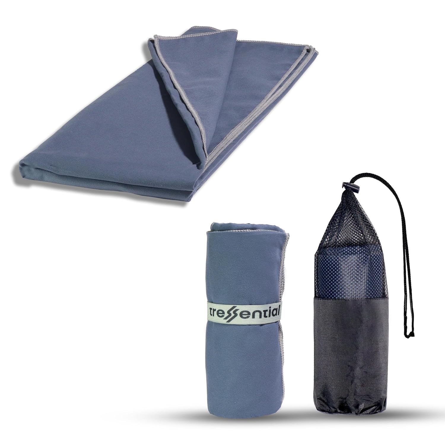
- ✅No Wet Smell: Dries in minutes so you don't carry a heavy, smelly towel in your bag.
- ✅Super Tiny: Folds into a small pouch, leaving more room for warm clothes.
- ✅Gentle: Ultra-soft fabric that is perfect for cold weather skin care.

- ✅High Altitude Protection: Himalayan sun is harsh and causes severe tanning & burns.
- ✅Non-Greasy: Doesn't feel oily while trekking or sweating.
- ✅Sweat Resistant: Stays on your skin even during high-intensity walking.

- ✅Dual Protection: Ponchos are good, but this ensures no water enters your bag.
- ✅Reflective Logo: Helps others see you in heavy mist or night treks.
- ✅Universal Fit: Fits perfectly on all 30L to 60L trekking backpacks.
2. Strategic Rest Stops: Where to Catch Your Breath
Not every shop on the trail is an ideal rest stop. You need places that offer clean seating, decent toilets, and a view that keeps you motivated. Stopping too frequently will make your muscles cold and stiff, while not stopping at all can lead to exhaustion.
We recommend the “Big Three” stops: Jungle Chatti (4km), Bheembali (7km), and Linchauli (11km). These points are managed by the government and local vendors, offering a mix of dormitory stays and restaurants. In 2026, these stops have been upgraded with better waste management and solar-powered charging stations (though a power bank is still a must!).
📍 Major Milestones & Facilities Table (2026)
| Stop Name | Distance from Gaurikund | Altitude | Key Facility |
| Jungle Chatti | 4 KM | 2,340 M | First major Medical Post & Tea Stalls. |
| Bheembali | 7 KM | 2,750 M | Large Base Camp, GMVN Rooms, Wi-Fi Zone. |
| Rambara (New) | 10 KM | 2,900 M | Rain Shelters & Strategic Viewpoints. |
| Linchauli | 11 KM | 3,150 M | Steepest Point, Best for Overnight Halt. |
| Rudra Point | 14 KM | 3,400 M | Final stretch starts; Great for Photos. |
3. Hydration & Health: Water Points and Medical Relief Camps
Dehydration is the silent enemy at high altitudes. It thickens your blood and increases the risk of mountain sickness. In 2026, the Yatra administration has installed Free Filtered Water Stations every 1-2 kilometers. While bottled water is available for ₹50-₹80, we suggest carrying a reusable stainless steel flask to save money and reduce plastic waste.
Equally important are the Medical Relief Posts (MRPs). These are staffed 24/7 with doctors and paramedics. If you feel dizzy, have a persistent headache, or your oxygen level (SpO2) drops below 80 on your oximeter, do not hesitate to enter these camps. They provide free oxygen nebulization and basic medicines.
Pros and Cons: Staying at Mid-way Camps (Bheembali/Linchauli)
- Pros: Helps in acclimatization (habitualizing to low oxygen), reduces the physical load of doing 16km in one day, and you can reach the temple early morning for Darshan.
- Cons: Basic facilities (shared toilets), very cold at night, and adds one extra day to your overall budget.
4. The “Z-Turns” and Terrain Analysis
The stretch between Bheembali and Rambara is where most trekkers lose their spirit. This is the zone of the “Z-Turns”—zigzag paths designed to climb a nearly vertical mountain face. In 2026, the path here is paved with non-slip tiles, but the air is noticeably thinner.
This is where your Trekking Pole becomes a lifesaver. Using the pole to push yourself upward takes the load off your knees. Most water points in this section are located at the apex of the “Z” turns. Expert Review: “Don’t look at the top; look at your next 10 steps. The psychological game of Kedarnath is won by focused, short-term goals. Every milestone is a victory.” — Saurav Pal, DreamTripGuide.
5. Critical Dos and Don’ts of the Trail
What to Do (Kya Karein):
- DO keep your Yatra Slip handy: There are checkpoints at Gaurikund and Bheembali.
- DO walk on the Mountain side: Always stay away from the valley edge, especially when horses are passing.
- DO use the Rain Shelters: If it starts thundering, do not stand under trees; head to the nearest Tin-shed shelter.
- DO refill your water at every station: Even if your bottle is half-full.
What NOT to Do (Kya Na Karein):
- DON’T take shortcuts: The “staircase” shortcuts are brutal on the heart and lungs; stick to the main paved path.
- DON’T throw plastic: Keep the Himalayas clean; carry your wrappers back to Gaurikund.
- DON’T ignore your body: If you have chest pain, stop and call the emergency helpline (108).
- DON’T over-eat at stops: Stick to Maggi, fruits, or light Daal-Chawal.
6. Survival Gear: The Essentials for the 16km Map
Your map is only as good as your gear. To navigate these stops comfortably, you need items that help you recover during breaks. We’ve talked about shoes, but for the “Map Strategy,” you need:
- Portable Oxygen Can: Use it at Linchauli and above.
- Knee Caps: Wear them before the descent from the temple.
- Power Bank: To keep your GPS/Offline maps running.
Affiliate Tip: Saurav, yahan par tum wahi Elite Amazon Widget dalo jisme Oxygen Can, Power Bank aur Trekking Poles highlighted hon.
7. People Also Ask (PAA) – Trek Map & Stops
- How many kilometers is the trek from Gaurikund to Kedarnath? It is exactly 16 kilometers via the new paved route.
- Where is the best place to stay mid-way? Linchauli is best as it leaves only 5km for the next morning.
- Are there toilets on the Kedarnath trek? Yes, clean eco-toilets are available every 1-2 km near rest stops.
- Is mobile network available on the trail? BSNL, Jio, and Airtel work at major stops, but data is slow.
- Where can I get free medical help? Look for “Medical Relief Post” (MRP) signs at Jungle Chatti, Bheembali, and Linchauli.
- Are there lockers at Gaurikund? Yes, private lockers are available to store extra luggage you don’t want to carry up.
- Is the trek path lit at night? Only major sections have solar lights; carrying a Headlamp is highly recommended.
- What is the steepest part of the map? The 4km stretch between Rambara and Linchauli.
- Can we get hot water on the trek? Yes, most tea stalls sell hot water or tea/coffee.
- Is there a helicopter shuttle from mid-way? No, helicopters only fly from the base (Phata/Sirsi/Guptkashi) to the temple.
Final Word from DreamTripGuide
Study the map, respect the mountains, and pace your breath. For live trail conditions and 2026 Yatra updates:
👉 Instagram: @dreamtripguide.india
👉 Detailed Itineraries: www.dreamtripguide.com
Also Read – Book Kedarnath Package