
Master the Kedarnath route from Sonprayag to the Temple. Detailed 2026 map, shuttle timings, trek milestones, and expert tips for a smooth 16km spiritual journey.
KEDARNATH WEATHER1. The Gateway: Starting Your Journey from Sonprayag
Sonprayag is the official checkpoint where the road for private and commercial vehicles ends. In 2026, the administration has made it mandatory for all pilgrims to undergo a biometric scan and document verification here. Sonprayag acts as the bottleneck of the entire yatra; this is where the excitement meets the reality of the crowds. Located at an altitude of 1,829 meters, it is the confluence of the Mandakini and Songanga rivers.
From Sonprayag, you cannot take your own bike or car. You must board the government-authorized shuttle jeeps to reach Gaurikund, which is 5 km away. The queue for these jeeps can take anywhere from 30 minutes to 3 hours depending on the season. This section of our guide at DreamTripGuide emphasizes the importance of reaching Sonprayag by 4:00 AM if you intend to finish the trek on the same day. Understanding this first leg of the route map is crucial because if you get delayed here, your entire schedule for the 16km trek gets pushed into the dark hours.
🏔️ Kedarnath Yatra Checklist 2026: 12 Must-Have Items for a Successful Trek

- ✅Altitude Protection: Prevents breathlessness and headaches caused by low oxygen levels at Kedarnath top.
- ✅Instant Energy: Helps you recover faster during the steep 16km trek from Gauri Kund.
- ✅Lightweight: Fits easily in your side pocket and weighs almost nothing.

- ✅Unbeatable Grip: Anti-skid soles designed specifically for slippery mountain rocks and mud.
- ✅100% Waterproof: Keeps your feet dry during sudden rains or while crossing small streams.
- ✅Ankle Support: Prevents injuries on the uneven zig-zag paths of the Kedar valley.

- ✅Total Coverage: Covers you and your large backpack completely during heavy mountain rains.
- ✅Quick Dry: Much better than heavy raincoats; it's light and dries in minutes.
- ✅Windproof: Blocks the freezing cold winds that follow the rain at high altitudes.

- ✅Heat Retention: Advanced fabric that locks body heat even when the temperature drops to 0°C.
- ✅Odour Resistant: Can be worn for multiple days without feeling unhygienic.
- ✅Slim Fit: Fits comfortably under your regular clothes without looking bulky.

- ✅Cold Protection: Battery dies fast in cold weather; this ensures your phone stays alive for photos.
- ✅Massive Capacity: Charge your phone and camera 4-5 times fully during the trip.
- ✅Fast Charging: Don't waste time at charging points in tea stalls.

- ✅Knee Support: Reduces 25% of the pressure on your knees during the steep descent.
- ✅Better Balance: Essential for crossing slippery patches or walking in narrow trails.
- ✅Anti-Shock: Absorbs ground impact to prevent wrist and shoulder pain.

- ✅12H Hot: Keep hot water/tea ready to fight the freezing cold of the Himalayas.
- ✅BPA Free: Safe and healthy stainless steel that won't rust.
- ✅Strong Body: Survives accidental drops on rocky terrains easily.

- ✅Mountain Ready: Contains pain sprays, bandages, and altitude sickness tablets.
- ✅Lightweight: Small enough to fit in any backpack side pocket.
- ✅Must Have: Medical help is far away on the trek; be your own first responder.

- ✅Hands-Free: Essential for early morning treks (3 AM) so you can use trekking poles freely.
- ✅High Brightness: Powerful beam that covers up to 100 meters clearly.
- ✅Weatherproof: Continues to work even during rain or heavy mist.
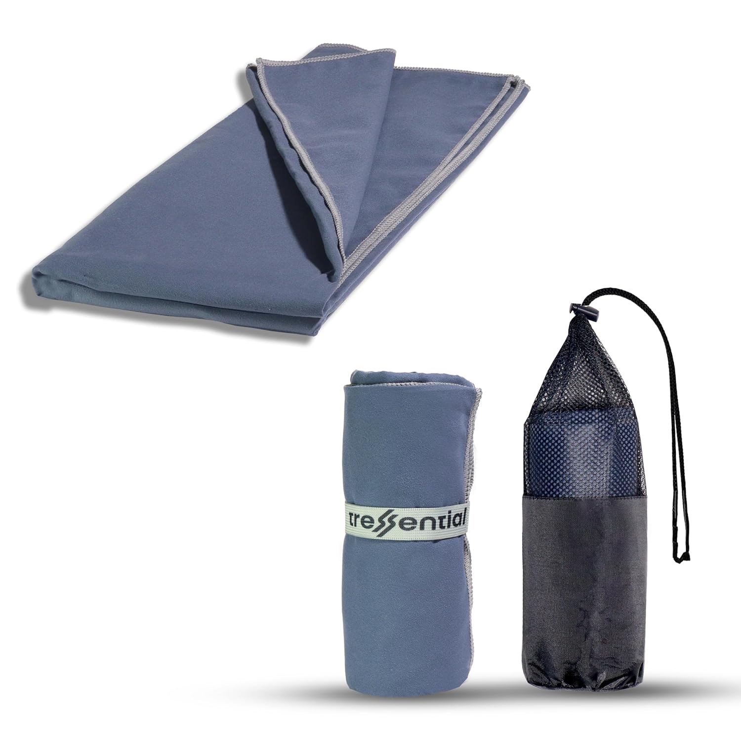
- ✅No Wet Smell: Dries in minutes so you don't carry a heavy, smelly towel in your bag.
- ✅Super Tiny: Folds into a small pouch, leaving more room for warm clothes.
- ✅Gentle: Ultra-soft fabric that is perfect for cold weather skin care.

- ✅High Altitude Protection: Himalayan sun is harsh and causes severe tanning & burns.
- ✅Non-Greasy: Doesn't feel oily while trekking or sweating.
- ✅Sweat Resistant: Stays on your skin even during high-intensity walking.

- ✅Dual Protection: Ponchos are good, but this ensures no water enters your bag.
- ✅Reflective Logo: Helps others see you in heavy mist or night treks.
- ✅Universal Fit: Fits perfectly on all 30L to 60L trekking backpacks.
2. The Shuttle Leg: Sonprayag to Gaurikund
The 5 km stretch between Sonprayag and Gaurikund is a narrow, winding road that only authorized local jeeps can navigate. In 2026, the fare is fixed at ₹50 per person. Gaurikund is the actual base camp where the walking trail begins. It is famous for its hot water springs (Gauri Kund), where pilgrims traditionally take a holy dip before starting the climb.
However, in 2026, the crowd management at Gaurikund has been tightened. As soon as you deboard the jeep, you are directed towards the horse/pony stand or the pedestrian path. This is the last point where you can find major market facilities, raincoats, and trekking sticks. At DreamTripGuide, we suggest that you don’t spend more than 30 minutes at Gaurikund. Use the washrooms, fill your water bottles, and start the trek immediately to beat the mid-day sun.
Also Read – Book Kedarnath Package
📍 Key Transport & Route Milestones
| Segment | Distance | Mode | Time Taken |
| Sonprayag to Gaurikund | 5 KM | Shared Jeep | 20-30 Mins |
| Gaurikund to Jungle Chatti | 4 KM | Trek (Paved) | 1.5 – 2 Hours |
| Jungle Chatti to Bheembali | 3 KM | Trek (Steep) | 1.5 Hours |
| Bheembali to Linchauli | 4 KM | Trek (Z-Turns) | 2 – 2.5 Hours |
| Linchauli to Kedarnath | 5 KM | Trek (Plaza) | 2 Hours |
3. The Lower Trek: Gaurikund to Bheembali
The first 7 km of the trek from Gaurikund to Bheembali is a test of your initial stamina. The path is well-paved but consistently inclined. You will pass through Jungle Chatti (4km), which is the first major rest stop with a medical post and tea stalls. The sound of the Mandakini river follows you on the left, providing a serene backdrop to the grueling physical work.
In 2026, this section features several eco-friendly toilets and free water ATMs. Bheembali (7km) is a massive base camp with GMVN tents and a large medical center. If you are a senior citizen or walking with children, Bheembali is a strategic point to check your oxygen levels. At DreamTripGuide, we consider Bheembali the “Point of No Return”—once you cross this, your body must be fully committed to reaching the top.
4. The Crucial Ascent: Bheembali to Linchauli
This 4 km stretch is the most challenging part of the entire Kedarnath route map. You will encounter the infamous “Z-Turns.” These are sharp, zigzag inclines that help you scale the steep mountain face. As you ascend towards Linchauli (11km), the altitude crosses 3,000 meters, and the air starts thinning.
Linchauli is the highest major base camp before the temple. In 2026, it has been equipped with high-speed BSNL Wi-Fi zones and improved emergency shelters. Many trekkers choose to stay overnight at Linchauli to acclimatize to the low oxygen before the final push. Expert Review: “Linchauli is where the ‘Mental Game’ begins. Don’t look at the summit; just focus on reaching the next Z-turn. Use your Trekking Pole here to save 25% of the energy in your legs.” — Saurav Pal, DreamTripGuide.
5. The Final Push: Linchauli to the Temple Plaza
The last 5 km from Linchauli to the Kedarnath Temple is psychologically demanding but visually rewarding. After crossing Rudra Point (14km), the steepness decreases, and the path opens up into a wide plaza. This is where you get your first glimpse of the majestic Kedarnath peaks.
However, because the altitude is now nearly 11,500 feet, every step feels like a mile. In 2026, the “Temple Plaza” has been redesigned to accommodate thousands of pilgrims with organized queues and resting benches. This is the zone where you must use your Oxygen Can if you feel even slightly dizzy. As you walk past the helipads, the sound of temple bells and chants of “Jai Bholenath” will give you the final adrenaline rush needed to reach the shrine.
Pros and Cons: Walking vs. Pony on this Route
| Feature | Walking (The Hard Way) | Pony/Khachar (The Fast Way) |
| Cost | ₹0 (Free) | ₹2,500 – ₹5,000 (Fixed) |
| Experience | Spiritual, raw, and rewarding. | Faster, less physical effort. |
| Health | High risk of AMS/Fatigue. | Risk of “Saddle Sore” & Back pain. |
| Flexibility | Stop anywhere for photos/rest. | Dependent on the pony’s pace. |
6. Survival Checklist: Dos and Don’ts of the Route
What to Do (Do’s):
- DO Start at 4 AM: Beating the Sonprayag jeep queue is half the battle won.
- DO Walk on the Inner Side: Let the ponies pass on the cliff side for your safety.
- DO Carry a Power Bank: Cold weather kills phone batteries; your GPS is useless without power.
- DO Use the “Rest-Step”: Take a micro-pause after every step on steep inclines to save your lungs.
What NOT to Do (Don’ts):
- DON’T take shortcuts: The “staircase” paths are heart-attack zones for untrained trekkers.
- DON’T use umbrellas: The wind on the Z-turns is too strong; only use a Rain Poncho.
- DON’T stop for long meals: A heavy stomach diverted blood flow from your muscles to digestion.
- DON’T ignore your Oximeter: If SpO2 drops below 75, stop and use oxygen immediately.
7. People Also Ask (PAA) – Route Special
- Can we drive to Gaurikund? No, only authorized jeeps from Sonprayag are allowed.
- How long is the total walk? It is 16 km from Gaurikund to the Temple.
- What is the shuttle jeep timing? Usually from 4:00 AM to 7:00 PM.
- Are there lockers in Sonprayag? Yes, you can store your main luggage and take only a 5kg backpack up.
- Is the path safe at night? It is lit by solar lights, but trekking at night is risky due to weather and wildlife.
- Where is the best place to eat? Bheembali and Linchauli offer the most hygienic options.
- Can I get a pony mid-way? Yes, but rates are higher. It’s best to book at Gaurikund.
- Is mobile network available? Jio and BSNL work best along the route.
- Are there medical camps? Yes, every 2-3 km, marked as Medical Relief Posts (MRP).
- How do I find my way? Just follow the paved path; it is impossible to get lost as there is only one main trail.
Connect with DreamTripGuide!
Planning your 16km ascent? Check out our live route reels and gear reviews for the 2026 season:
👉 Instagram: @dreamtripguide.india
👉 Website: www.dreamtripguide.com