
Planning a high-altitude expedition through the raw, soaring terrain of the Garhwal Himalayas requires careful logistical coordination, route safety awareness, and reliable data. For travelers utilizing a comprehensive trip planning guide to build their next great adventure, combining the profound spiritual energy of Kedarnath with the untouched alpine beauty of the chopta valley creates the ultimate 5-day mountain itinerary.
This professional-grade travel manual acts as an authoritative travel guide blog resource. It details exact geographical distances, high altitudes, trail frameworks, and transit realities for an optimized expedition from Haridwar and Rishikesh through the sacred heights of Kedarnath to the breathtaking chopta trek corridors Kedarnath Package.
The Ultimate 5-Day Itinerary Matrix
Balancing high-altitude trail demands with vehicular transit timings requires a strict chronological sequence. This curated layout mitigates acute mountain sickness (AMS) risks while maximizing your time at key wilderness locations.
1.Day 1: Haridwar to Sonprayag via Rishikesh Corridor:Distance: ~210 km (130 miles) | Drive Time: 7-8 Hours.
Depart early from Haridwar, bypassing the foothills along the scenic rishikesh to chopta highway artery (NH-7). Wind along the roaring Alaknanda and Mandakini river confluences, passing through Devprayag and Rudraprayag. Arrive at Sonprayag or Guptkashi by late afternoon for mandatory local documentation checks and overnight rest.
2.Day 2: The Ascent from Gaurikund to Kedarnath Temple:Trek Distance: 16 km (9.9 miles) | Elevation Gain: ~1,900 meters.
Board the local shared transit from Sonprayag to the Gaurikund trailhead. Begin the engineered mountain climb up to the sacred shrine. The trail is paved but steep; maintain a slow, rhythmic pace. Arrive at the high-altitude base camp, witness the evening temple prayers, and sleep overnight in local guest houses.
3.Day 3: Kedarnath Descent and Transit to Chopta Hill Station:Trek Descent: 16 km | Drive Distance: ~95 km (59 miles).
Descend from the temple to Gaurikund during the crisp early morning hours. Reconnect with your vehicle at Sonprayag to cover the chopta to Kedarnath distance across the mountain valleys via Ukhimath. Arrive in the evening at the sweeping alpine meadows of chopta hill station for wilderness eco-tourism forest camping.
4.Day 4: The Unified Chopta Tungnath Chandrashila Trek:Trek Loop: 10 km (6.2 miles) | Maximum Altitude: 4,000 meters.
Launch an early morning summit bid from the Chopta trailhead. Climb through the pristine rhododendron canopy to reach the ancient Tungnath Temple, then scramble up the steep gravel ridge to the Chandrashila summit. Descend to Chopta by afternoon, then take a short drive to Sari Village for an overnight stay.
5.Day 5: Deoria Tal Trek and Return Journey to Haridwar:Lake Trek: 2.5 km (1.5 miles) | Return Drive: ~200 km (124 miles).
Hike up the short, scenic trail to the emerald waters of Deoria Tal to catch the sunrise mirroring the massive Chaukhamba peaks. Return to Sari Village for breakfast, then begin the mountain drive back through the chopta to rishikesh distance corridor, arriving in Haridwar by late evening.
🏔️ Kedarnath Yatra Checklist 2026: 12 Must-Have Items for a Successful Trek

- ✅Altitude Protection: Prevents breathlessness and headaches caused by low oxygen levels at Kedarnath top.
- ✅Instant Energy: Helps you recover faster during the steep 16km trek from Gauri Kund.
- ✅Lightweight: Fits easily in your side pocket and weighs almost nothing.

- ✅Unbeatable Grip: Anti-skid soles designed specifically for slippery mountain rocks and mud.
- ✅100% Waterproof: Keeps your feet dry during sudden rains or while crossing small streams.
- ✅Ankle Support: Prevents injuries on the uneven zig-zag paths of the Kedar valley.

- ✅Total Coverage: Covers you and your large backpack completely during heavy mountain rains.
- ✅Quick Dry: Much better than heavy raincoats; it's light and dries in minutes.
- ✅Windproof: Blocks the freezing cold winds that follow the rain at high altitudes.

- ✅Heat Retention: Advanced fabric that locks body heat even when the temperature drops to 0°C.
- ✅Odour Resistant: Can be worn for multiple days without feeling unhygienic.
- ✅Slim Fit: Fits comfortably under your regular clothes without looking bulky.

- ✅Cold Protection: Battery dies fast in cold weather; this ensures your phone stays alive for photos.
- ✅Massive Capacity: Charge your phone and camera 4-5 times fully during the trip.
- ✅Fast Charging: Don't waste time at charging points in tea stalls.

- ✅Knee Support: Reduces 25% of the pressure on your knees during the steep descent.
- ✅Better Balance: Essential for crossing slippery patches or walking in narrow trails.
- ✅Anti-Shock: Absorbs ground impact to prevent wrist and shoulder pain.

- ✅12H Hot: Keep hot water/tea ready to fight the freezing cold of the Himalayas.
- ✅BPA Free: Safe and healthy stainless steel that won't rust.
- ✅Strong Body: Survives accidental drops on rocky terrains easily.

- ✅Mountain Ready: Contains pain sprays, bandages, and altitude sickness tablets.
- ✅Lightweight: Small enough to fit in any backpack side pocket.
- ✅Must Have: Medical help is far away on the trek; be your own first responder.

- ✅Hands-Free: Essential for early morning treks (3 AM) so you can use trekking poles freely.
- ✅High Brightness: Powerful beam that covers up to 100 meters clearly.
- ✅Weatherproof: Continues to work even during rain or heavy mist.
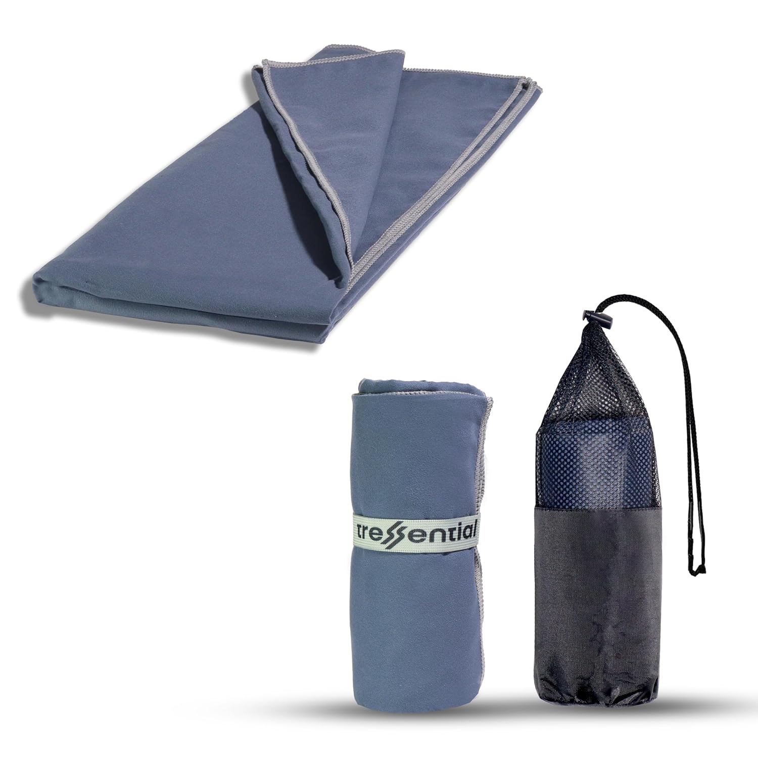
- ✅No Wet Smell: Dries in minutes so you don't carry a heavy, smelly towel in your bag.
- ✅Super Tiny: Folds into a small pouch, leaving more room for warm clothes.
- ✅Gentle: Ultra-soft fabric that is perfect for cold weather skin care.

- ✅High Altitude Protection: Himalayan sun is harsh and causes severe tanning & burns.
- ✅Non-Greasy: Doesn't feel oily while trekking or sweating.
- ✅Sweat Resistant: Stays on your skin even during high-intensity walking.

- ✅Dual Protection: Ponchos are good, but this ensures no water enters your bag.
- ✅Reflective Logo: Helps others see you in heavy mist or night treks.
- ✅Universal Fit: Fits perfectly on all 30L to 60L trekking backpacks.
Regional Geography & Core High-Altitude Benchmarks
Successfully navigating the Chopta Uttarakhand travel guide layout requires a concrete understanding of local elevations and spatial coordinates. Pack these critical data points into your ultimate travel guide reference checklist:
| Geographic Location | Absolute Altitude / Elevation | Crucial Regional Travel Context |
| Chopta Height | 2,680 m / 8,790 ft | The base station for pristine forest camping, homestays, and hotels. |
| Tungnath Altitude | 3,680 m / 12,073 ft | The highest ancient temple dedicated to Lord Shiva anywhere on earth. |
| Chandrashila Peak Height | 4,000 m / 13,123 ft | The rocky summit offering dramatic 360-degree panoramic views of the range. |
| Chopta to Tungnath Distance | 3.5 km / 2.1 miles | A wide, stone-paved trail weaving up through protected wildlife forests. |
| Tungnath to Chandrashila Distance | 1.5 km / 0.9 miles | A steep, exposed mountain ridge route requiring high-grip hiking boots. |
| Deoria Tal Trek Distance | 2.5 km / 1.5 miles | A gentle forest trail starting from Sari Village leading to an alpine lake. |
Deep Dive: The Tungnath Chandrashila Trek Experience
The combined chopta tungnath chandrashila trek stands out as a jewel of the Uttarakhand trekking destinations network. It offers immense visual rewards with manageable technical challenges, making it an excellent match for a dedicated solo trip to Chopta, an adventurous chopta couple trip, or a structured chopta family trip.
The Ascent to the Highest Shiva Shrine
The initial tungnath trek distance features a clear, well-maintained stone path climbing out of the chopta valley view point area. Hikers wind through old-growth forests of oak and rhododendron within the Kedarnath Wildlife Sanctuary. If you plan your chopta in summer (April to June), these trees explode into deep hues of crimson and pink crimson.
The Summit Push for the Chandrashila View
Leaving the ancient stone walls of the temple behind, the trail transitions from paved steps to a raw mountain scramble. The final 1.5-kilometer path climbs steeply along the exposed spine of the mountain.
For adventure seekers executing a night chandrashila trek, this section requires slow, careful movement with a clear headlamp. Reaching the chandrashila peak brings you to a small mountain shrine wrapped in prayer flags. From this high vantage point, enjoy an open, sweeping view of the grand peaks of Chaukhamba, Nanda Devi, Trishul, Dunagiri, and Kedarnath.
Expanding the Trail: The Deoria Tal Integration
To create a comprehensive deoriatal chandrashila trek experience, travelers should always include the scenic detour to the crystal-clear waters of Deoria Tal. Tucked away above Sari Village, this lake sits at an altitude of 2,438 meters (7,998 feet). On clear mornings, the calm water acts as a giant mirror, perfectly reflecting the massive, snow-covered Chaukhamba mountain massif.
- Trek Dynamics: The deoria tal trek is an easily accessible 2.5 km walk, making it an ideal warm-up hike before attempting the higher elevations of the chopta trek.
- Camping Framework: Including this loop in your multi-day deoria tal trek distance plan lets you enjoy exceptional forest camping and clean mountain photography spots away from the busier roads.
Strategic Travel Planning: Seasons, Weather, and Budgets
Weather Anomalies & Best Time to Visit
- The Summer Window (April to June): This is the ideal time for clear trail conditions, daytime temperatures ranging from 15°C to 24°C (59°F to 75°F), and excellent valley views.
- The Chopta Snowfall Guide (November to March): The valley transforms into a quiet winter landscape. Heavy snow regularly blankets the high ridges between January and February. For a winter trip, monitor the ukhimath to chopta distance roads closely, as the western slope from Ukhimath is kept clear by road crews when the eastern paths freeze over.
Budget Architecture & Tour Packages
Executing a comprehensive chopta budget trip is highly cost-effective. Independent backpackers can find cozy local homestays, traditional meals, and basic amenities for approximately $30 to $50 USD per day. For travelers looking for a seamless, pre-arranged experience, an all-inclusive tungnath trek package or a tailored chopta tour package covers your wilderness tents, certified local mountain guides, and high-altitude transport permits.
Frequently Asked Questions (FAQs)
What is the absolute chopta to tungnath trek distance?
The dedicated foot trail from the main road base in Chopta up to the stone gates of Tungnath Temple is exactly 3.5 kilometers (2.1 miles). The entire path is wide and paved with stone steps, making it accessible for families, beginners, and seasoned hikers alike.
Why is the Chopta valley regularly called the Mini Switzerland of Uttarakhand?
Chopta earned this popular nickname because its landscape strongly resembles traditional Swiss alpine valleys. The region features vast, open green meadows (bughyals), dense pine and oak forests, crisp mountain air, and a soaring backdrop of jagged, snow-capped peaks.
Is the night chandrashila trek safe for a beginner hiker?
Yes, provided you take standard safety precautions. While the paved trail to Tungnath is clear, the final 1.5 km ridge scramble up to the Chandrashila peak consists of loose gravel and steep switchbacks. If climbing in the dark for sunrise, always use a high-powered headlamp, pack reliable trekking poles, and consider hiring a local guide.
What is the driving distance from Chopta to Rishikesh?
The total driving distance through the mountain corridor from Chopta to Rishikesh is approximately 165 kilometers (102.5 miles). Depending on seasonal road conditions, river valley traffic, and weather, the drive typically takes between 5.5 and 6.5 hours.
Can I complete the Kedarnath and Chopta treks back-to-back without rest?
While physically possible, it is not recommended for safety and acclimatization reasons. The 16 km climb to Kedarnath is physically demanding. Giving your body a dedicated transit day to cross the chopta to Kedarnath distance provides essential muscle recovery and lets you adjust smoothly to the higher altitudes.